

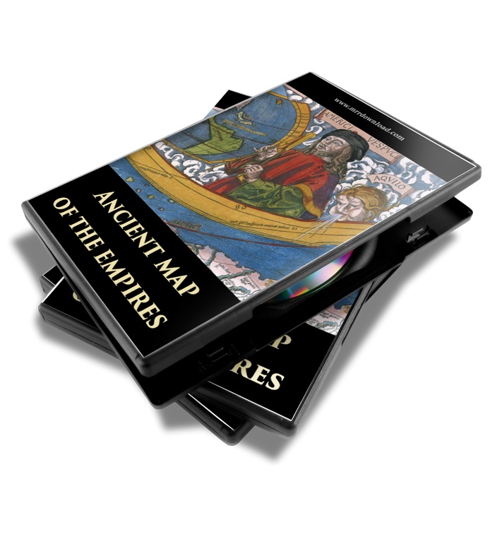
Ancient Maps of the Empires Collection
This Pack contains 300 Ancient Maps of the World Empires, Kingdoms, Colonies, Ancient Cities and many more from the Public Domain. Use them and/or sell them and keep 100% of the profits! Download this Pack Now!
Description
ANCIENT MAPS OF THE EMPIRES COLLECTION
CONTENTS: 300 Ancient Maps in High Resolution
300 Various Vintage Maps Collection in Jpeg File Format (Very High Resolutions)
- Ancient Maps of the World Navigation: Distribution of Principal European Languages in 1914, The Spread of Colonization 1600 – 1700, The Age of Discovery 1340-1600, and more.
- Africa: The Partition of Africa, Napoleon’s Campaign in Egypt and more.
- Asia, Oceania and Asia Minor: Ancient Japan, Constantinople, Australia and New Zealand 1788-1911, Asia Minor under the Greeks and Romans, Asian Medieval Commerce, and more.
- Colonial Maps: The Growth of European and Japanese Dominions in Asia since 1801, Treaty Adjustments 1713-1763, The Struggle of Colonial Dominion 1700-1763, and more.
- Europe and Eurasia: Distribution of Races in Former Austria-Hungary, The Swiss Confederation 1291-1513, The Wettin Lands, The People’s of Europe about 900, The Growth of Russia in Europe 1300-1796, and more.
- France: Growth of Frankish Power, France about 1035, France in 1453, Ecclesiastical Map of France 1789-1802, and more.
- Germanic Kingdom: The Imperial Circles about 1512, The Germanic Kingdoms and the East Roman Empire in 526, Decline of German Power in the Baltic Region, and more.
- Israel and the Ancient Empires: Ancient Jerusalem under David, Ancient Jerusalem under Solomon, The Empire of Sultan Salah-Al-Din 1171-1193, The Assyrian Empire and the Region about the Eastern Mediterranean 1750-625 BC, The Oriental Empires (Lydian, Median, Chaldean and Egyptian Empires) and many more.
- Italy and the Roman Empire: Norther Italy 1796, Rome and Carthage at the Beginning of the Second Punic War 218 BC, Plan of Rome in the Middle Ages, Europe and the East Roman Empire 533-600, The Holy Roman Empire under the Hohenstaufen 1138-1254, and more.
- London and the United Kingdom: The Shires of England, Industrial England since 1750, Dominions of William the Conqueror about 1087, Settlements of Angles, Saxons and Jutes in Britain about 600, The British Isles about 802, Localities in England Connected with American History, England and Wales in 1832, Plan of London about 1300, and more.
- Spain: Maps of Spain in 910-1492, A Map of Spain and Portugal, and more.
- The Byzantine and Mongolian Empires: The Byzantine Empire in 1265, The Byzantine Empire and the Ottoman Turks in 1355, The Mongol Dominions 1300-1405, and more.
- The Greek and the Persian Empires: Greece under Theban Headship 1362 BC, Greece at the time of the War with Persia 500-479 BC, Mycenean Greece and The Orient about 1450 BC, The Persian Empire about 500 BC, The Athenean Empire at its Height about 450 BC, and more.
- The Ottoman Empire: The Califate in 750, The Ottoman Empire 1481-1683, Dismemberment of the Ottoman Empire since 1683, and more.
- USA and the Americas: Campaigns of the American Revolution 1775-1781, Seat of the Civil War 1861-1865, Physical Map of North America, Campaigns of the War of 1812, The West Indies and Central America 1492-1525, The Conquest of Mexico 1519-1521, The Conquest of Peru 1531-1533, The British Colonies in North America 1763-1775, and many more.
Become a Member and Download this Amazing Product for FREE! This pack contains lots and lots of Ancient Maps of the Ancient Empires, Kingdoms and Colonies. These are Public Domain Materials, Use them and/or sell them and keep 100% of the profits!




Reviews
There are no reviews yet.